APPLICATION SITES :: SHAVERS CREEK
Model and Data Exploration:
Model and Data Download:
PIHM version : 2.1 | PIHMgis version: 2.3 beta
Download Dataset: PIHM Model Data [xx MB]
PIHM version : 2.0 | PIHMgis version: 2.2 beta
Download Dataset: Geohydrologic Data [xx MB] PIHM Model Data [xx MB]
PIHM version : 2.0
PIHMgis version: 2.2 beta
Download Dataset [87 MB] : Includes Shavers GIS data and PIHM Geodata Model
Shavers Creek is located in Centre and Huntingdon counties, PA, in the Ridge and Valley ecoregion. Shavers Creek flows south into the Juniata River and is part of the Susquehanna River Basin and Chesapeake Bay Watershed. Catchment elevations of the 163 km² watershed range from 192 to 710 meteres above sea level. The land use of the watershed is mixed primarily with farming and small towns in the valleys and forests that cover run along the ridges.
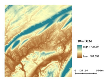
Fig. 1. 10 meter USGS Digital Elevation Model
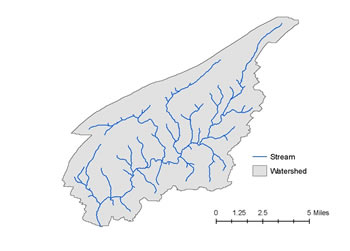
Fig. 2. Stream and Watershed boundary obtain using Raster Processing Modules
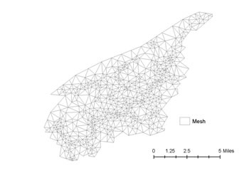
Fig. 3. Domain Decomposition of domain using the constraining layer obtained after Vector Processing
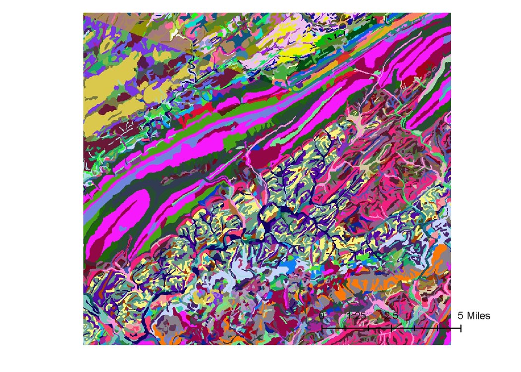
Fig. 4. NLCD 2001 Land cover classification map for area
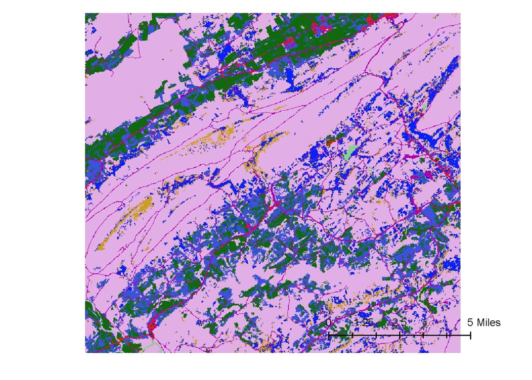
Fig. 5. SSURGO soil types for the domain
Groundwater Hydrology CE 555 (Fall 2007) - View Project Report